


Description
Product Overview
This illustrated atlas from Chronicle Books provides an in-depth exploration of global geography with 257 pages of detailed maps and insights. Published on April 3, 2018, it features enhanced typesetting, X-Ray, and screen reader support for an accessible reading experience. The English-language edition includes an ISBN-13 of 978-1452168449 and a file size of 75.0 MB, optimized for Kindle devices to deliver crisp visuals and easy navigation.
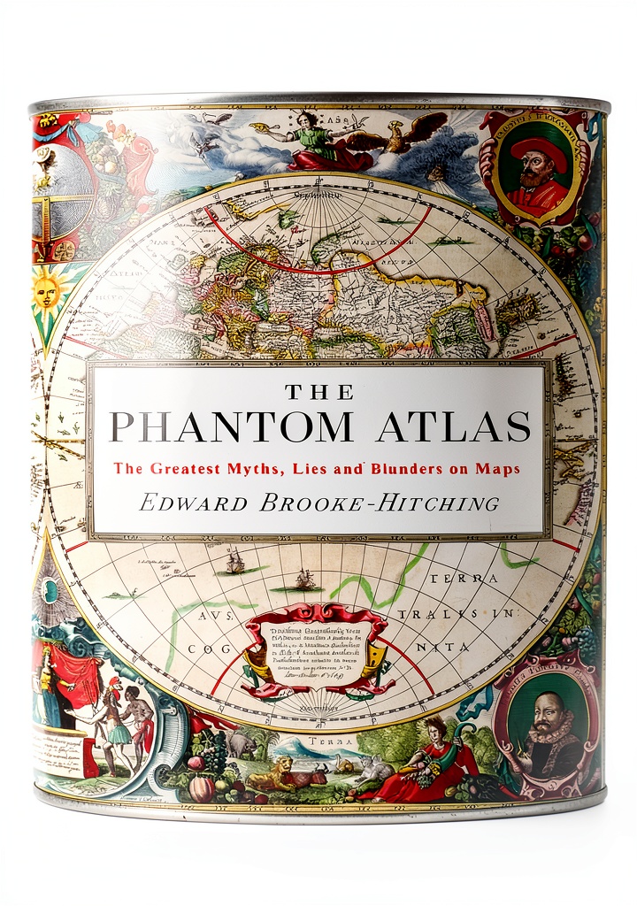
Usage
This atlas is designed for geography enthusiasts, students, and travelers who need reliable reference materials. Use it for academic research, trip planning, or casual learning on your Kindle, whether at home, in the classroom, or on the go. Its screen reader compatibility makes it suitable for users with visual impairments, enhancing accessibility in diverse environments.
Why Choose Us
Chronicle Books is renowned for high-quality publications, and this atlas stands out with its detailed cartography and user-friendly Kindle features. The combination of enhanced typesetting, X-Ray, and Word Wise ensures a seamless reading experience, while its best-seller rankings in cartography and geography categories reflect its reliability and popularity among readers.
Key Features
- 257 pages of detailed illustrated maps for comprehensive geographical coverage
- Enhanced typesetting and X-Ray features for improved readability and navigation
- Screen reader supported and Word Wise enabled for accessibility
- Optimized for Kindle with page flip and 75.0 MB file size for smooth performance
- Published by Chronicle Books with high-quality craftsmanship and accurate data
FAQ
What devices are compatible with this Kindle atlas?
This atlas is compatible with all Kindle devices and apps that support enhanced typesetting and X-Ray features, ensuring a consistent experience across platforms.
Does this atlas include recent geographical updates?
Published in 2018, it provides accurate maps and data up to that time, making it a reliable resource for general geography, though users should check for very recent changes separately.
Is the atlas suitable for children or educational use?
Yes, its illustrated format and accessible language make it ideal for students and educators, supported by features like Word Wise to aid comprehension.
Can I use this without an internet connection?
Once downloaded, the atlas works offline on your Kindle device, allowing you to access maps and content anywhere without needing a connection.
How does the X-Ray feature enhance the reading experience?
X-Ray lets you quickly explore key terms and concepts within the atlas, providing deeper insights into geographical elements without leaving the page.




 Free Press Science Measurement Kindle Book Reprint Edition
  Vertebrate Digital Nepal Travel Guide Kindle Book English
  Penguin Polar Regions Travel Kindle Book English Language
Reviews
There are no reviews yet.